Legacy maps are built to track – not empower. They are closed, siloed and unfit for emerging autonomous systems.
MAP4 redefines geospatial infrastructure with decentralization, privacy, and precision.
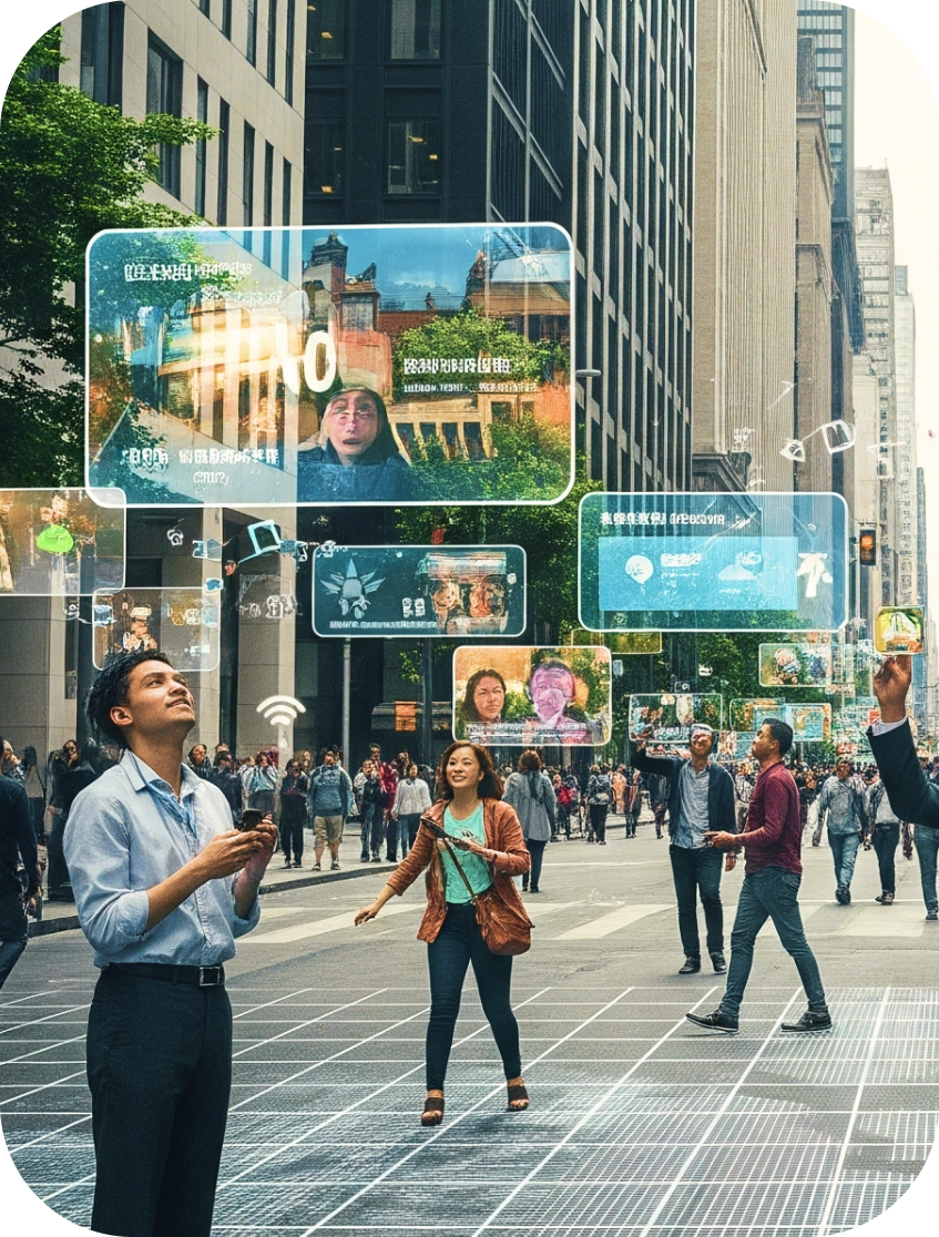
Where IRL meets NFT.
A new layer of the web, rooted in the real world. MAP4 turns any place into a secure, ownable, and programmable Location Domain – backed by NFTs, verifiable identities and centimetre-level precision.
Do more than mirror the physical reality. Each Location Domain is a Cognitive Digital Twin – complete with identity, governance, intelligence, services, assets and programmable rights.
Manage your space.
Keep data fresh, control who sees it, and how it’s used.
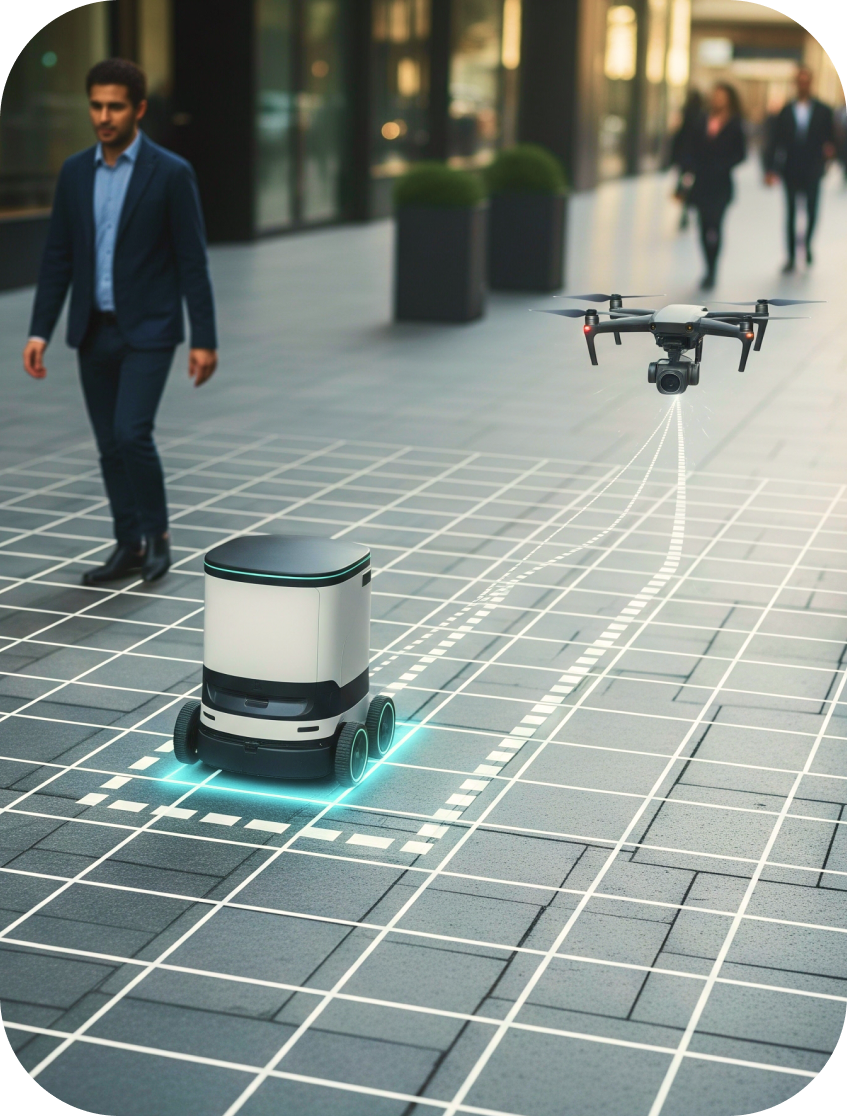
Step into new experiences.
From hyperlocal commerce to transactions and AI Concierges.
Your data, your rules.
Earn from contributions, validation and access.
Build what’s next.
Create apps and experiences that respond to the real world.
Where IRL meets NFT.
At the core of MAP4 is DeMAP – decentralized Mapping, Addressing and Zero Knowledge Location Proof Positioning stack.
Decentralized Mapping. Capture, verify and manage location data and spatial relationships through open, collaborative protocols.
Decentralized 4D Addressing. Global network of universal spatiotemporal geo-DIDs and domains that are verifiable, tradable and programmable.
Decentralized Positioning. Zero-Knowledge Location Proofs of physical presence of people and machines – indoor, outdoor and multi-level spaces.
Location-aware AI agents. Continuously trained on data streams, including sensor feeds, user interactions, local context and historical behavioral patterns.
Location Domain Wallets. Self-sovereign, programmable wallet that manages assets and executes spatial transactions on predefined logic.
Location Data Exchange. Decentralized data marketplace lets you stream, access and monetize spatial data through verifiable ZK-location proofs.
MAP4 is an ecosystem. Be a part of it.
Whether you are an every-day user, a small merchant or a global enterprise – MAP4 gives you powerful spatial technology tools to build the future of the spatial economy, where people, machines, and AI agents to navigate, interact and transact autonomously.
Stay in the loop.
Don’t miss out on our progress and latest updates.